
Meteorologists at the National Oceanic and Atmospheric Administration (NOAA) announced that the likelihood of an El Niño developing by mid-summer has significantly increased — but what does that mean for the upcoming Atlantic hurricane season?
According to the NOAA Climate Prediction Center, a transition from La Niña to ENSO-neutral is expected within the next month, with a 55% chance that the ENSO-neutral conditions are likely to continue from May through July 2026. Afterward, there's a 62% chance that El Niño is likely to emerge and persist through at least the end of 2026.
To understand what this means, it helps to look at the broader El Niño-Southern Oscillation (ENSO) cycle, which comprises La Niña, ENSO-neutral, and El Niño. The three phases play a key role in global climate patterns, affecting everything from weather to wildfires, ecosystems, and economies.
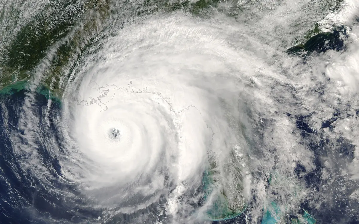
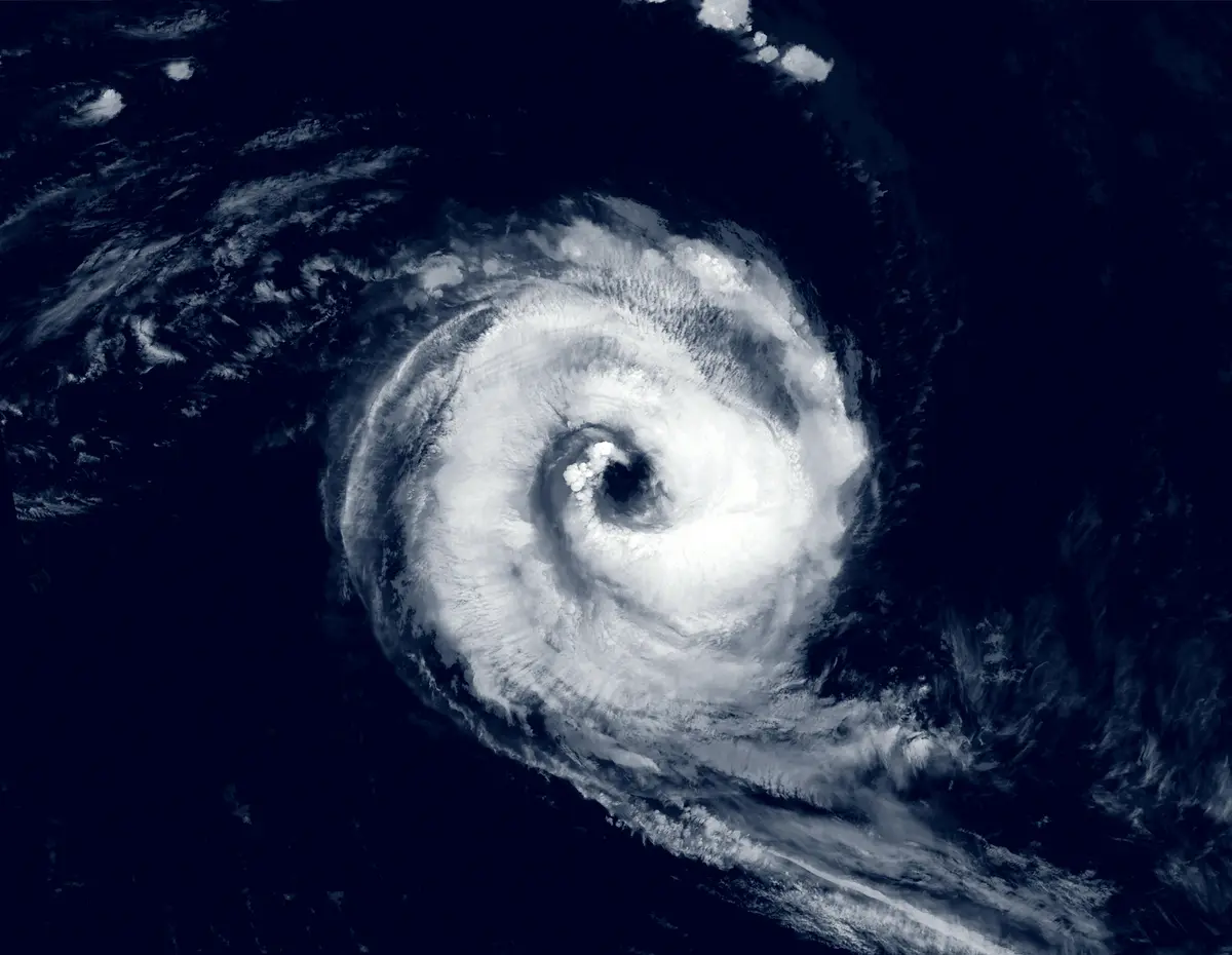
El Niño is a natural climate pattern marked by warmer-than-average sea surface temperatures in the central and eastern tropical Pacific Ocean and occurs every 2-7 years. It weakens trade winds and changes global atmospheric patterns.
On the flip side, La Niña is associated with cooler-than-average Pacific waters, which results in stronger trade winds and enhanced Atlantic hurricane activity.
Whereas El Niño leads to wetter conditions in the southern U.S. and warmer, drier weather in the northern part of the country, La Niña causes colder and stormier winters in the northern U.S. and Canada, while producing drier, warmer winters in the South.
For Florida cruisers, the resurgence of El Niño during the 2026 hurricane season is encouraging, as it could mean that there are fewer named tropical storms during the season's most active weeks.

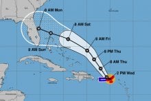
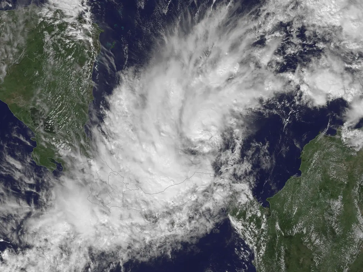
The Atlantic hurricane season runs from June 1 through Nov. 30. However, the busiest part of the season is typically August through October. If El Niño takes hold, this destructive period may see fewer storms, and thus impact fewer cruise itineraries.
How does El Niño affect hurricane season?
Just because El Niño could reduce storm activity during the peak hurricane months doesn’t guarantee a quiet season. For example, Hurricane Idalia made landfall in Florida's Big Bend region as a strong Category 3 storm during the strong El Niño year in 2023.
Official seasonal hurricane forecasts haven’t been released yet, but they will provide more insight into how the developing El Niño could affect the 2026 hurricane season.
AccuWeather is scheduled to release its prediction on Wednesday, Mar. 25, followed by Colorado State University on Thursday, Apr. 9.
Read more: What experienced cruisers do differently during hurricane season

However, La Niña is generally when Atlantic hurricanes are more favorable due to the stronger trade winds and reduced wind shear. This makes it easier for storms to form and intensify.
Moreover, during El Niño, the atmosphere over the warm Pacific experiences a broad rising motion, which is offset by sinking air over the tropical Atlantic and Africa. The increased atmospheric stability over areas where storms are most likely to develop makes it harder for hurricanes to form and intensify, which often leads to fewer overall storms.
"With a strong El Niño forecast to form, it's a good bet we'll see a below-average season in the Atlantic. Still, most El Niño seasons still have 1-2 high-end hurricanes," said Andy Hazelton, an associate scientist at the University of Miami’s Cooperative Institute for Marine and Atmospheric Studies, in an X post.
"Most of the time they recurve (like Erika 97) thanks to an enhanced subtropical jet, but occasionally you get a storm that sneaks through (like Betsy 65). While it's impossible to tell the details of individual storms at this range, the flavor of the season seems fairly clear: likely less activity in the Caribbean and deep tropics, with what does form mostly in the subtropics and East/Central Atlantic."
Are we in El Niño or La Niña?

Right now, we're still in La Niña. "La Niña continued in February 2026, with below-average sea surface temperatures (SSTs) persisting in the east-central equatorial Pacific Ocean," the Climate Prediction Center's recent Diagnostic Discussion reads.
However, the equatorial subsurface has continued to rise, showing the above-average surface temperatures across the Pacific are getting warmer than usual.
The discussion continues, "[T]he increasing odds of El Niño are supported by the large amount of heat in the subsurface ocean and the expected weakening of the low-level trade winds. If El Niño forms, the potential strength remains very uncertain, with a 1-in-3 chance that it would be 'strong' during October-December 2026."
Read more: Check these 5 things in your travel insurance policy before hurricane season